
The world of a post-Revolution Pennsylvanian was small. Communities sprouting in the Appalachians were secluded, typically appearing alongside precious resources of the era like fertile soil and iron ore. These isolated villages were largely self-contained, featuring all the mills, smiths, and tradesmen required to sustain an early American settlement. It wasn’t until the creation of large-scale highways that an interconnected collection of wilderness towns began to exert their influence on the greater Pennsylvania stage. In our area, one roadway stands as the most integral to the early development of Centre County: the Bellefonte and Philipsburg Turnpike.
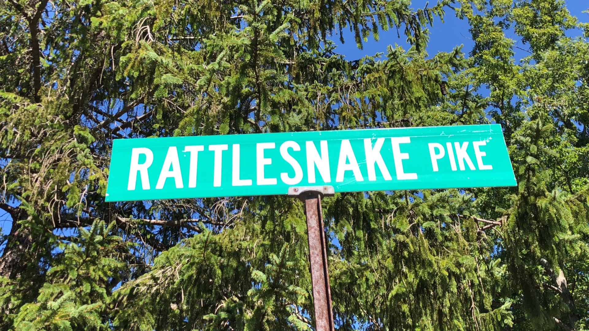
Rattlesnake Pike, as it is colloquially known, emerged from early American efforts to expand westward and more efficiently reach and transport resources only found in the most inaccessible places. The roots of the pike can be traced back to Governor Thomas Mifflin’s 1791 request for major infrastructure investments into Pennsylvania’s dilapidated roadways, specifically those surrounding Lancaster. When the legislature approved the creation of private companies for the project, the blueprint was set for toll roads to carve up the state.
At the time of Philipsburg’s and Bellefonte’s founding in the waning years of the eighteenth century, transportation to the communities consisted of poor wagon roads and Native American paths that couldn’t support the weight or volume of resources that both towns had to offer. Plans were quickly created to build a turnpike, so named for the post that would be lowered to block the road: a “pike.” Local heavyweights in Centre County like Benner, Gregg, Burnside, and Miles jumped at the opportunity.
The sale of stock commenced at the turn of the 1820s with the intention of raising enough to cut and pave a 28.5-mile road from Bellefonte to Philipsburg. The state committed $20,000 for the project, demonstrating its importance to greater Pennsylvania. Locally, $12,500 was raised through subscriptions. Thus, with funding in hand, the turnpike was constructed.
The road itself was paved with clay, twenty feet wide on a sixty-foot cut, never exceeding an elevation of four and a half degrees. All streams were bridged, and the road was reportedly so smooth that even “the most petulant, fault-finding cynic, can sleep in his carriage as he rolls at a rate of six miles an hour.” Other sections of turnpikes would be connected over the next several years and by 1830, one could travel with ease from Philadelphia to Erie for pleasure or business.
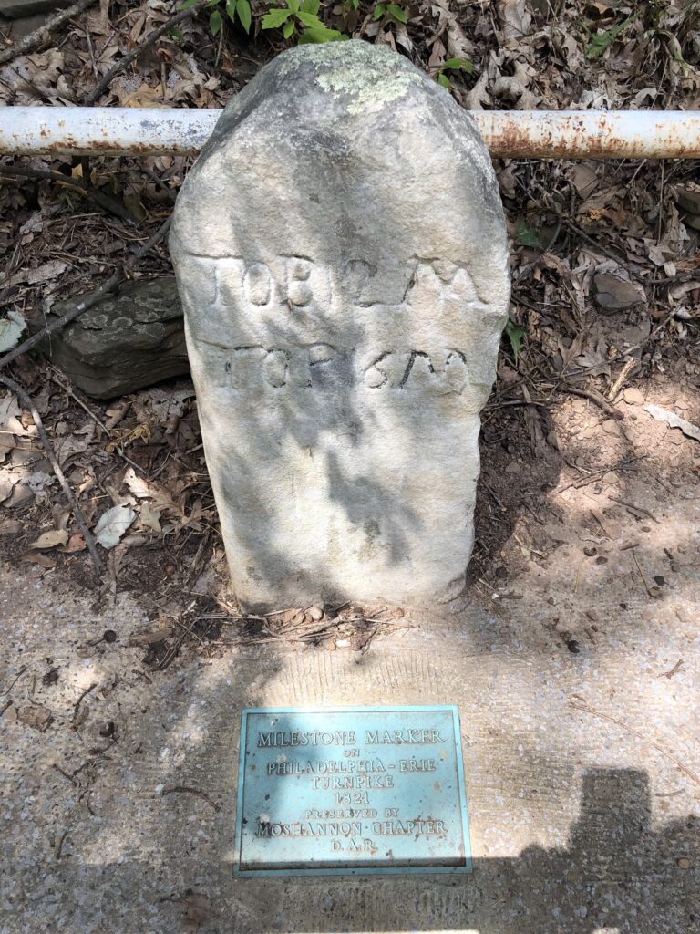
Anywhere a road is completed in early America, inns, taverns, and toll houses are sure to follow. Along the 28.5-mile stretch, which goes through modern-day Black Moshannon State Park, the foundations of these renowned locations can still be found. Among the most famous locations along the Bellefonte and Philipsburg Turnpike was the legendary Rattlesnake Hotel. Located outside Unionville in the heart of the Alleghenies, the hotel became a popular stop for both gentry and laborers traveling along the highway. John Blair Linn wrote in his 1883 opus The History of Centre and Clinton Counties that on the turnpike “one can pass without a jolt to the Rattlesnake Hotel (kept by Benjamin Lucas and Betsey), on the very summit of the Allegheny Mountain, where the prospect is grand beyond any power to describe, and where one can have his horses treated with the purest water, and himself regaled with the choicest whiskey bitters.”
The Bellefonte and Philipsburg Turnpike brought more than freight business to the area. Memorialized by a historical marker, an entire community once grew out of an inn along the Pike. From the Antes House, a tavern of considerable favor among travelers and a required stop before or after the Rattlesnake, the entire community of Antes was born. Once home to one of Pennsylvania’s largest lumber producing areas, the town became large enough to boast its own post office, general store, stables, blacksmith shop, wagon shop, ten-pin bowling alley and a school that served sixty-five scholars!
The success of the turnpike as a means for major shipping was extremely short-lived. Unbeknownst to the communities of the Pennsylvania heartland, a plan was underway for a route that would change the landscape forever: the Pennsylvania Canal. That undertaking, beginning in 1824, would eventually connect to Bellefonte, cutting the need for access to Philipsburg and its connection to Lake Erie. Only another few decades would render the turnpike entirely obsolete for major shipping with the advent of railways and the Pennsylvania Main Line. Today, Route 504 in Centre County travels the legendary path of the turnpike, past the site of the old Rattlesnake Hotel and through old Antes, serving as the only remnant of that heartbeat in history. T&G
Visit townandgown.com for a full list of sources. Local Historia is a passion for local history, community, and preservation. Its mission is to connect you with local history through engaging content and walking tours. Local Historia is owned by public historians Matt Maris and Dustin Elder, who co-author this column. For more, visit localhistoria.com.
Sources:
Bellefonte and Philipsburg Turnpike Road. (1822, August 13). Philadelphia Inquirer, p. 2.
Communicated. Bellefonte and Philipsburg Turnpike Road. (1822, July 17). Bellefonte Patriot, p. 1.
Frantz, H. L. (1930, April 1). Interesting History of Early Highways. Tyrone Daily Herald, p. 3.
History of black moshannon state park. Pennsylvania Department of Conservation & Natural Resources. (n.d.). Retrieved March 1, 2023, from https://www.dcnr.pa.gov/StateParks/FindAPark/BlackMoshannonStatePark/Pages/History.aspx
Linn, J. B., & Mitchell, J. T. (1962). Internal Improvements. In History of centre and Clinton Counties, Pennsylvania (pp. 167–168). story, Centre County Library and Historical Museum.
Map – Library of Congress. Topographical Map of Centre Co., Pennsylvania : from actual surveys. (n.d.). Retrieved March 1, 2023, from https://www.loc.gov/resource/g3700.rr000030/?r=0.261,0.541,0.413,0.203,0
Philadelphia and Lancaster Turnpike Road. Explorepahistory.com. (n.d.). Retrieved March 1, 2023, from https://explorepahistory.com/hmarker.php?markerId=1-A-28D


